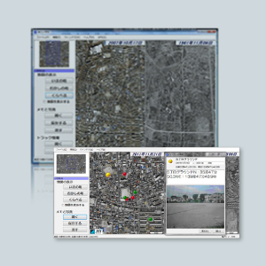
GyoroSchool
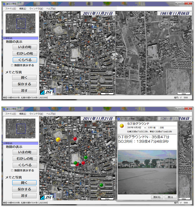
Display to compare the latest satellite imagery and aerial photography from 50 years ago, side by side.
It is the best teaching material for elementary school students.
Concept
GyoroSchool displays to compare the latest satellite imagery and aerial photography from 50 years ago, side by side, look for the difference of the town with the aging and can be paste memos on the map.
It can be attached a name, class name, text or photo to a memo.
It is the best teaching material for elementary school students. Also it can be enjoyed for adults.
Main function
GyoroSchool has the following functions.
- Display switching and comparison display of images (present) and images (past).
- Add points on the map (you can add comments and photos to points)
- The locus display obtained by GPS
NoteSatellite imagery and aerial photography must be prepared by area.
Operating environment
Microsoft WindowsXP、WindowsVista、Windows7
If you have Microsoft WindowsXP you need Microsoft .net framework V2.0 or later.
Related serves
Related to GyoroSchool introduction, we also support the service in the below.
Map data maintenance service
This service allows to digitalization their drawings and maps that customers have and make them available on GyoroSchool.
Please contact us the cost depends on the extent of the map.
Customization services
It is a service to develop additional functions according to the content of the class.
Please contact us the cost depends on the content of the function you are developing.
Introduction record
Adachi-ku Tokyo Fuchie elementary school
Price
Please contact us for the prices.